
Above Photo - Efkere, 2021.
The following photos of Efkere and the surrounding countryside are from 1998.
The first picture is taken from the front of Surp Stepanos, looking across the valley to the opposite hillside, which was Western Efkere. Little more than the foundations of some buildings remain.
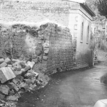
The remainder of the photos, from Eastern Efkere, give a good sense of the current condition of the village. Most of the vintage structures have been taken down, and those that remain are largely in ruin. Still, some homes and buildings remain standing, in good condition, and are occupied.


Eastern Efkere, January 2002.
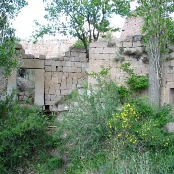
These photographs show a typical pre-World War 1 dwelling. This home is located approximately 60 meters northwest of Surp Stepanos.


Views from the Southwest Plateau, May 2002
A view of the village from the Southwest Plateau, and the likely ruins of St. Elia’s Chapel. May, 2002


From the Southwestern Plateau, the photograph on the left was taken in May, 2002, and shows the condition of Eastern Efkere today.
Surp Stepanos, lacking its dome, is visible in the center, toward the right. The photograph on the right is taken from almost the same vantage point, and dates from prior to 1915.

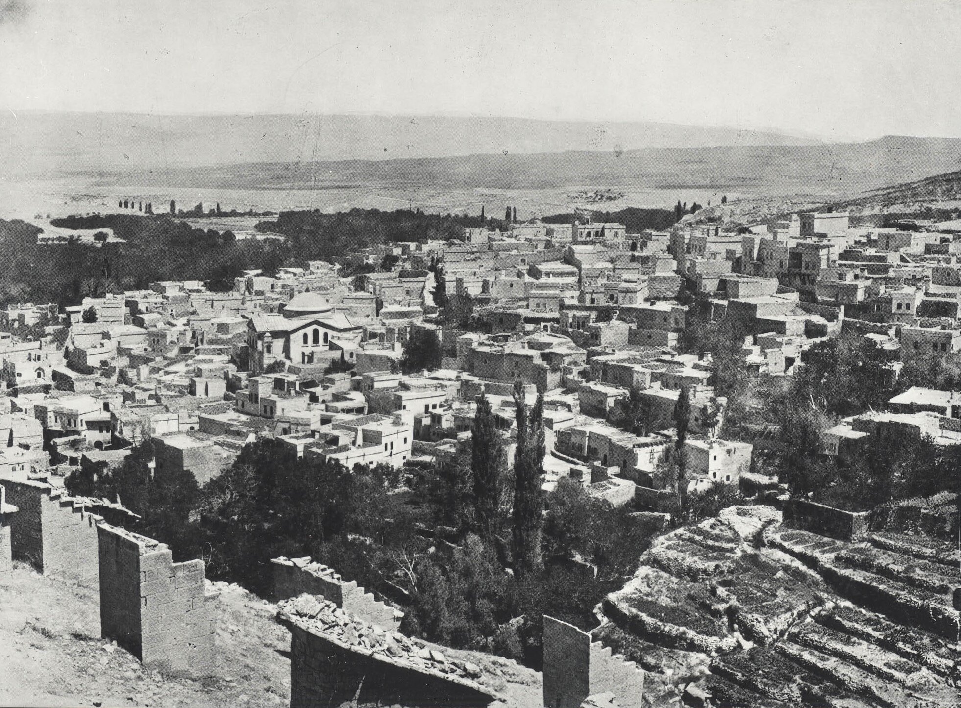
The numerous structures on the hillside are “pigeon houses”. Food and water were placed at the bottom of these structures in an effort to lure pigeons, which provided the crops with valuable fertilizer. At the top of the hill, are the ruins of an old building. This may represent a part of Sp. Elia, although this is uncertain.